Hydrographic survey
Monitoring navigability on waterways. Mapping the flow rate on watercourses. Determining the actual storage volume of water bodies. Providing materials, supervision and evaluation of sediment dredging projects. All these activities require hydrographic survey.
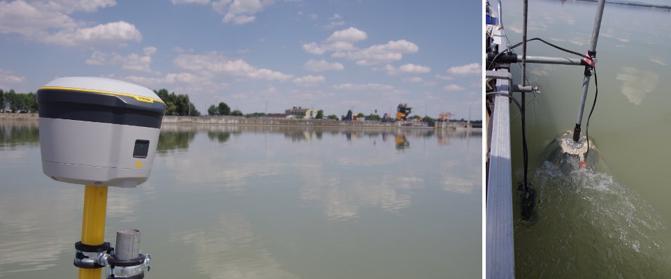
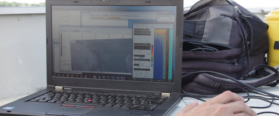
Thanks to our specialized devices installed in a boat, we provide complex hydrographic survey to our clients. We determine current depth by an echo-sounder (sonar) OHMEX, sediment thickness by a sub-bottom profiler SYQUEST even more, pair both measured values with a geographical position by a highly sensitive GPS receiver. Heavy duty laptop collects and archives all the data on board of the boat. If we are asked to detect sediment composition, we take profile samples from pre-determined sites. After the measurement on the water body, we process the measured data and create an output file according to the requirements of the client.
In case of sediment removal from the bottom of a water body, we can export the measured values in the form of a 3D GPS map. We utilize the measured data an the 3D map in our SMART DREDGING system. This application significantly improves dredging efficiency and sediment processing by approximately 40%. It also allows identification of restricted zones where dredging regulations are in place. The suction dredger operators can thus avoid these zones.
During measurements, we use echosounder SONARMITE by OHMEX, subbottom profiler STRATABOX by SyQwest, differential GPS receiver by TRIMBLE and dredging software DREDGEPACK by Hypack.


