

Water surface survey
- 13. December 2022
- Posted by: matej.beres
- Categories: Articles, News
In the process of planning the revitalization of water bodies, the first steps are to determine the current state and survey of the water body.
The required data are, in particular:
the total volume of sediment in situ, in the water area, or in the designated area
the thickness of the sediment layer in individual areas of the water surface
bathymetric measurement – topography of the bottom of the water surface
sediment quality
water quality
We carry out the survey of the water area from the surface using a boat with the necessary professional equipment. We most often use a sub-bottom profiler to determine the volume of sediment deposited at the bottom of the water surface, its structure and the thickness of the layers. This is a special sonar whose sound waves penetrate the sediment. At the physical interfaces, these waves are reflected back, which enables the creation of a digital sonar image of the bottom topography of the water surface, the total thickness of the sediments and their structure. We also target the topography of the water surface with multi-beam sonar. We process and analyze the collected data from the field in selected software. The output is mainly a depth map, transverse profiles of the bottom, a digital terrain 3D model. It is thanks to this background that it is possible to determine the most problematic places in the lake or in the water course. If it is a water area for which original project documentation exists, based on the named documents, we can add data on the current volume of sediments and the thickness of sediments in individual areas.
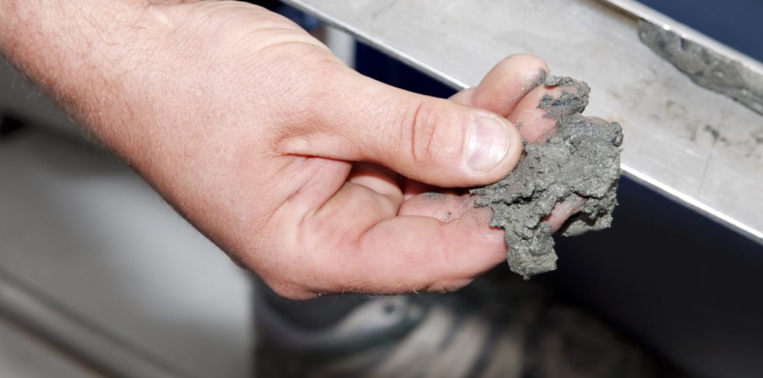
For the purpose of qualitative assessment of sediments, it ensures sampling using a special sampling rod, which enables sampling from all layers of sediments and their subsequent visual distinction. Laboratory analyzes are then carried out on the samples taken, focusing primarily on the content of manufacturing substances and heavy metals. Based on the results of the laboratory analysis, a qualified person will determine in the assessment the possibility of using or disposing of bottom sediment.
We take water from the water surface, but also from the source from several points and layers of the water column. Laboratory analysis is most often focused on microbiological parameters and the content of substances determined based on the needs of the given project.